
Our Services
We sit at the intersection of engineering, contracts, sales, and ops—and make sure things actually get done.
End-to-End Program Management: Comprehensive planning & scheduling to ensure project success, serving as a one-stop-shop.
Risk Management: Identification & mitigation of programmatic, portfolio & project-based risks.
Analytics & Execution: Using real time data analytics, dashboards & agile program management tools to optimize performance.
Systems Engineering & Technical Assistance (SETA) Services: Providing analysis & engineering consulting to customers.
Navigating Government Processes: Coordinating with legislators, military & intelligence community decision makers. Guiding clients through the complexities of federal contracts and large scale acquisitions.
Technical Program Management

Systems Integration
We excel at technical cat herding.
Systems Engineering: Design, development, & integration of advanced payloads to launch vehicles, aerial & marine platforms.
Quick Reaction Capability: Rapid development, testing & deployment of engineering solutions to solve emerging threats.
Coordination: Connecting teams, organizations & partners to enhance project execution.

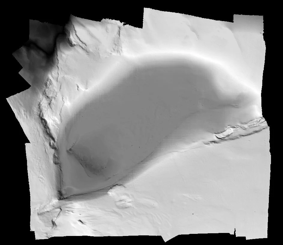
Geospatial & Remote Sensing Services
We turn data into decisions.
Geospatial Analysis: Comprehensive analysis & modeling of geospatial data to create actionable intelligence & inform decision-making.
Remote Sensing: Acquisition & processing of active & passive sensor data for detailed earth observation.
Uncrewed Systems: Sensor integration, enhanced data collection & real-time situational awareness using uncrewed systems.
Environmental Monitoring: Management of field operations & advanced technical solutions for quantifying environmental change above and below the water.
Mapping & Visualization: Creation of detailed maps, visualizations & storylines for maximum impact.
Integration: Fusion of data, models & maps to tell stories that resonate.
We find meaningful patterns efficiently.
Signal Processing: Development of innovative workflows & tools for cutting-edge signal processing.
Machine Learning: Application of advanced machine learning algorithms to create spatial & non-spatial predictions.
Natural Language Processing: Leveraging NLP for faster processing & analysis of text data.
Computer Vision: Implementation of artificial intelligence for enhanced image & video analysis.
Data Analytics and Artificial Intelligence

We love spreadsheets…..and logistics.
Testing: Oversight of hardware testing at-sea & in flight, including rehearsals, approvals, logistics, maintenance, training & travel.
Operations Management: Specializing in deploying & managing hardware operations in remote & overseas environments — where the hardware goes, we go, ensuring mission success in demanding conditions.
Logistics: Managing the end-to-end logistics of mission-essential hardware shipments - CONUS & OCONUS - including compliance with hazardous materials handling and transport/customs regulations.
Hardware Testing and Field Operations
